 Antaryami
Calculation workshop
Longitude, latitude and declination: three coordinates, three questions
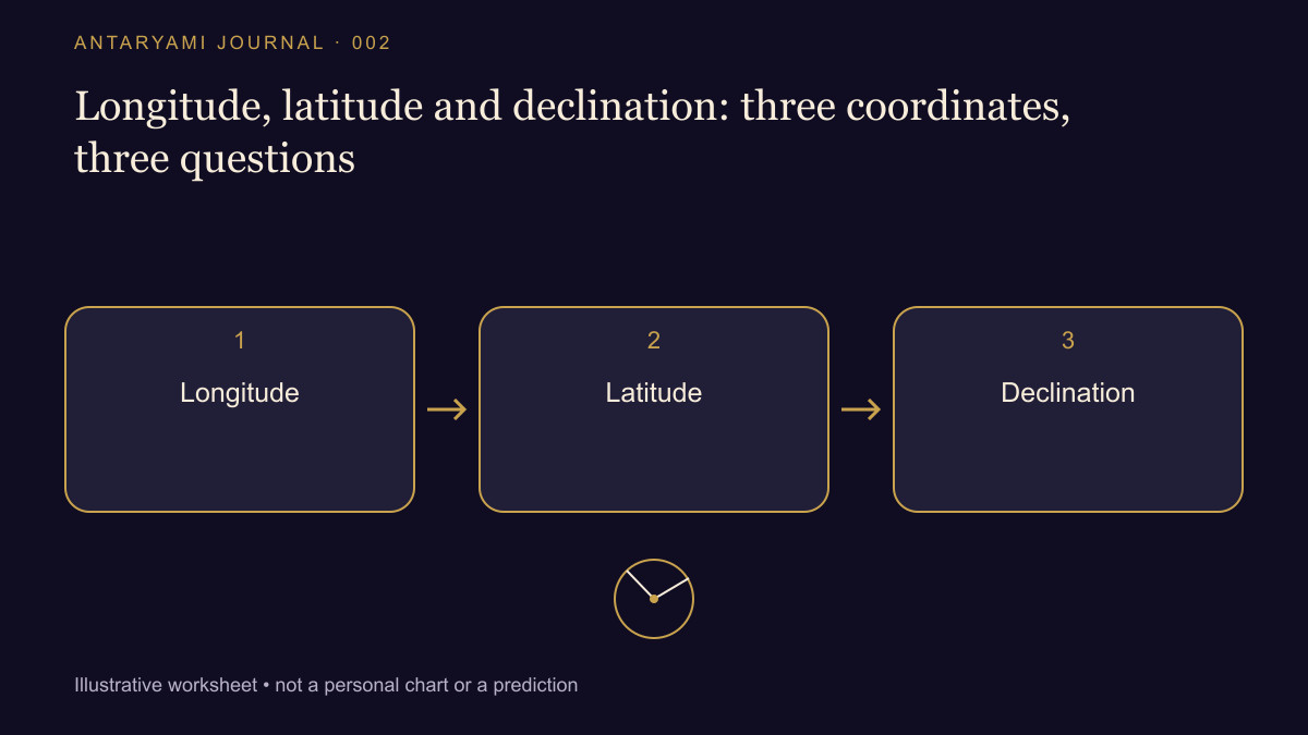
A report contains longitude, latitude and declination, all expressed as angles. It is tempting to put them into one column and compare their sizes. They answer different geometric questions. Before deciding that a chart or sky table is inconsistent, identify the coordinate system and the direction in which each angle is measured. A familiar unit does not make two quantities interchangeable.
Ask which plane defines zero
In an ecliptic coordinate system, longitude runs around the ecliptic and latitude measures angular displacement north or south of that plane. Equatorial coordinates instead use the celestial equator; declination measures displacement north or south of it. Right ascension is the accompanying coordinate around the equator. USNO's astronomical glossary supplies the technical definitions; the important reading habit is to retain the coordinate labels.
Imagine two fictional table entries. One says “ecliptic latitude: +2°”; another says “declination: +18°.” Subtracting them does not establish a sixteen-degree error. Each angle refers to a different plane. You would first need a stated transformation, its reference frame and the relevant epoch. Renaming a column in a spreadsheet cannot perform that transformation.
Do not confuse sky latitude with a birthplace
The word latitude can also describe a location on Earth. A birthplace latitude of 30° north is an observer-location input. An object's ecliptic latitude is a sky-coordinate output. They are not two versions of the same address. Good notes distinguish geographic latitude from celestial latitude instead of relying on the word alone.
For a reproducible comparison, label an Earth location with its coordinate convention and hemispheres. Label a celestial result with its reference plane and observer convention. A screenshot that simply shows “latitude” beside a number may be incomplete for your purpose. Ask what the number belongs to rather than filling the gap with whichever definition you already know.
Compare like with like
Create separate columns for the object name, time, observing centre, coordinate system, reference frame and units. Only then place the numeric results beside each other. Two longitudes may be comparable once these labels match. A longitude and a declination should remain in different fields unless your exercise explicitly performs a coordinate conversion.
This does not mean that every reader needs to derive spherical astronomy. It means a comparison should preserve the information that makes the numbers meaningful. If a tool provides only a chart drawing, use its legend or help text to identify the scale. If the labels remain unavailable, describe the limitation instead of presenting a precise-looking subtraction as an established defect.
A useful question to take away
Before asking “Why are these values different?”, ask “Are these values supposed to be the same quantity?” That question often removes an apparent contradiction. It also keeps technical care in its proper place: explaining a coordinate correctly does not establish a prediction about someone's personality or future. Geometry and interpretation remain separate parts of the conversation.
Astrological interpretations are for reflection, not a diagnosis, a guaranteed prediction or a substitute for professional advice. Journal guides are prepared with AI assistance; they are educational content, not individual consultations.