 Antaryami
Calculation workshop
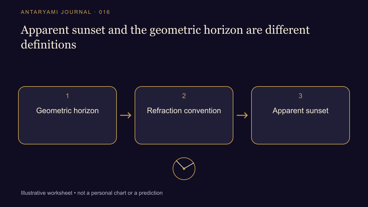
Apparent sunset and the geometric horizon are different definitions
A timetable gives sunset at 18:10, while a photograph seems to show the Sun meeting a ridge several minutes earlier. Before deciding that the timetable is wrong, ask what event each record describes. A calculated horizon crossing and a view through local terrain need not use the same definition. This guide is about reading the labels, not supplying a sunset time for a particular place.
Name the event
USNO defines conventional sunrise and sunset using the Sun's upper edge, with assumptions about the horizon and atmosphere. A geometric calculation involving the centre of the Sun is a different event unless the appropriate convention has been applied. The phrase sunset time should therefore retain the definition used by its source.
Imagine a fictional comparison: a table uses a level unobstructed horizon, while a viewer's westward view contains a hill. The Sun can disappear behind that hill before the table's defined event. The two observations do not automatically contradict one another. The photograph records what was visible from that viewpoint; the table answers its stated computational question.
Distinguish a setting from a correction
Observer height, local obstructions and atmospheric conditions can affect what someone sees. Do not add a guessed adjustment simply to make a photograph and a generic timetable match. If an observing task needs those details, use a suitable source or calculation method that declares how they are handled.
For a household planning note, separate the source's astronomical event from an organiser's practical appointment. A meal, journey or gathering may be scheduled before or after sunset. Calling the gathering time sunset would make an ordinary invitation harder to understand, especially for visitors who are looking at a different table.
Compare the place and date
A correct definition does not rescue an incorrect location selection. Check the city, coordinates, date and time-zone label before discussing minute-level differences. A table for a similarly named town or a screenshot from another year may be the simpler explanation. Keep the original source heading with the number.
If you are comparing with an observation, record where the observer stood and what the visible horizon looked like. Avoid publishing precise private locations unnecessarily. A general description such as obstructed western ridge may explain the issue without exposing someone's home address. Never turn this exercise into instructions for unsafe direct solar viewing.
Keep a useful conclusion
A bounded conclusion might be “The table assumes a level horizon; the photograph shows disappearance behind terrain.” If the definitions and inputs match and the difference remains unexplained, preserve the comparison for review. That is more informative than declaring that all calculated sunset times are exact, or that one local observation invalidates every timetable. A timing label becomes useful when its assumptions remain visible.
Astrological interpretations are for reflection, not a diagnosis, a guaranteed prediction or a substitute for professional advice. Journal guides are prepared with AI assistance; they are educational content, not individual consultations.